
(Editor’s Note: This is the first contribution to a multi-part series on going beyond the standard briefing to find the details underlying what our EFBs tell us. Look for subsequent installments in future issues.)
Sculptors work with various materials, typically by hand. Chefs work with ingredients, also by hand. Pilots work with air, but instead of eyes and hands and a sense of taste, we depend on satellites, radar, thermometers and even balloons to understand the material from which our works of art—a flight is a work of art, right?—are fabricated. But unlike the sculptor or chef, we can’t run our hands around the winds aloft or sniff for ice in the clouds 200 miles away.
So we’re left to do it all by remote control. The tools we use can include an electronic flight bag (EFB) app running on our favorite tablet, a phone call to Flight Service (yes, that’s still an option) or any number of web-based aviation weather providers. As long as you’re operating under FAR Part 91, you don’t have to use any specific aviation weather provider, but you do have to comply with FAR 91.103, which requires pilots to “become familiar with all available information concerning that flight.”
Digging Deeper
Every pilot should know how to read Metars and TAFs. While many weather sources offer a plain English or at least expanded version, it’s not just old-fashioned to say that reading a “raw” Metar or TAF is important. The expanded versions sometimes leave things out. For example, as I write, the Reno, Nev., Metar includes the remark, “SH VC SW AND NW.” That means “showers in the vicinity southwest and northwest,” which might be important, but translated sources may not include it.
A standard briefing, which is available from so many sources (including many EFB apps), is the start of preflight prep. Generally, it means that you are ready to go, but sometimes it is not enough. Your job is to recognize when you need more information and get it.
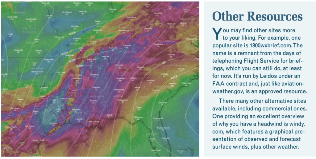
Virtually all of the meteorologists I know take pride in producing the best possible TAF every day, but sometimes things aren’t so clear. And anyone can have a bad day. Deciding whether to trust the TAF requires tools and data. In my opinion, the best place to find these tools is the website aviationweather.gov. As the URL implies, this is an official NOAA outlet. Be careful, though: The site is a supplement to, but not a substitute for, a standard briefing.
Forecast Discussion
A meteorologist who is unsure can tell you so in the Forecast Discussion. Sometimes these are almost poetic. “The upper low continues to move ever so slowly,” one comments. But this is an important hint, because slow-moving systems are harder to forecast than fast-moving ones. Sometimes the forecaster says outright that the forecast is a guess. While a TAF might forecast smoke, the discussion might tell you where the smoke is coming from, which can help you judge whether it will get better or worse.
On aviationweather.gov, navigate to the discussion via “Avn. Forecast Disc.” at the bottom of the home page’s dropdown Forecast menu. What you’ll see is a map of the U.S. divided into forecast regions. Sometimes you have to scroll down after you click on a region. You can also click on nearby regions and easily see what’s going on.
Each National Weather Service office prepares a list of TAFs on a schedule. For example, the Pocatello NWS office handles terminals including KIDA, KPIH, KBYI, KTWF and KSUN. If you click on the forecast discussion for a different station in this area, you will still get the same discussion.
My favorite EFB app includes the Forecast Discussion under the TAF tab, which means that you only see that one discussion. You’ll have to pick a terminal in the next region over to see their discussion.
Meteorologists often sign the discussion, like a painter or sculptor. I suppose if you’re diligent enough, you can decide whom you trust. Or you can just trust all of them to be honest in the discussion.
Winds Aloft
To student pilots, it seems the only purpose of the winds aloft forecast is to make E6-B calculations confusing. The forecast presents a large array of numbers, each row representing a station and each column an altitude. There are clever, double-secret rules for reading them, like if the wind speed is over 100 knots, you add 50 to the direction and omit the ‘1’ in the speed. That means 210 degrees at 115 knots was coded 7115. The scheme runs out of clever if the wind forecast is 200 knots or more, which is simply coded as 199. (Reminder: directions you read are related to true North; those you hear are related to magnetic North.) The stations in the covered region are listed alphabetically.
If you’ve set up your flight planning app correctly, the wind correction angles and groundspeeds are calculated for you. No more E6-B. Once airborne, keep the airplane symbol on the flight plan’s magenta line. Newer avionics systems know your true airspeed and heading, and can calculate the actual winds aloft. They also present the data nicely. So why look at winds aloft?
The winds aloft forecast helps me decide how much I trust the forecast. I am not looking for the effect on a local training flight in a Cessna 150. I look at higher altitudes. Some people say that the most relevant winds are at around Flight Level 180, but knowing higher altitudes can help, too.
First, look at the big picture. Where do the high altitude winds over your route come from? If from the ocean, the air will probably be moist. If they come from over land, the air will probably be dry. Since western North America is largely desert, the air may be hot and unstable as well.
Next, look at jet streams, those high-speed, high-altitude rivers of air. Sometimes there is more than one. A jet stream has the highest speed winds. As a rule of thumb, weather systems do not cross a jet stream. (Like all rules of thumb, this one can be wrong.) Now, look at the really big picture, from one Pole to the Equator and the opposite Pole again. If your route is on the polar side of a jet, it will be colder and may or may not be moist. On the equatorial side of the jet, the air is warmer and thus can carry more moisture, unless it has come from a drier region.
Forecasts become unreliable when the route is close to a jet stream. Moving the jet as little as 50 miles can change a forecast completely. The models don’t seem to have the resolution for that kind of precision.
It was a dark and stormy night. I was flogging one Skyhawk and two passengers back to the world after a wedding weekend in Charleston, S.C. One passenger wanted to be dropped at the now-closed Horace Williams Airport in Chapel Hill, N.C.
The weather was caving all up and down the eastern seaboard. The RADAR approach into Chapel Hill had a 600-foot agl MDA; nailing it, I couldn’t see a thing. I had already worked out Plan B with ATC: On the miss, vectors for the ILS 5L at Raleigh-Durham. And that’s what we did, breaking out at about 300 feet agl in mist, right around sundown.
I wanted to sleep in my D.C.-area bed that night, so after goodbyes and ordering fuel, I called Flight Service from the FBO’s pilot lounge. On the way, I noticed a U.S. Army King Air crew securing their airplane for the night, and some pilots in the lobby seemed to be settling in for the long haul.
I told the overworked and under-appreciated briefer I was at RDU and needed to get to D.C. “You really should forget about that tonight,” he basically said. I wanted to make that decision myself, so I asked for a couple of current/forecast numbers, trying to identify a suitable alternate. He sighed and read them off.
None of them were good. Still looking for a way to get home, I asked what other pilots were using that night for alternates. “Savannah and Tri-Cities,” he said, frustrated I wasn’t getting the message. That’s when it finally sunk in; I thanked him for his time and hung up. There was no way the Skyhawk had the gas for that. We got a room for the night.
It’s easy to get your hands on Metars, TAFs and the winds aloft forecasts. Among so much else, graphics have improved right along with other cockpit technologies, and today there’s no excuse for not knowing what the weather is and what it’s forecast to be.
But understanding what low ceilings and visibilities, thunderstorms, icing and other forecasts actually mean in the real world is a whole ‘nuther thing. I was painfully current on instruments and was confident I could get there and slide down the ILS. But there were no decent alternates. One of the voices in my head was telling me I could do this. The voice on the phone made it clear I probably couldn’t.
There’s no contest between an EFB and calling Flight Service when it comes to convenience, but the EFB won’t interpret the information for you or tell you, “VFR not recommended.”
If you’re stuck and having a hard time making a decision, remember it’s always better to be on the ground. But talking it over with a Flight Service briefer might help make things clearer. — J.B.
Finding Winds Aloft
Flight planning apps and the internet make finding winds aloft much easier. There are two places to look on aviationweather.gov. First, under Forecasts, look at Winds/Temps. This map is a little crowded, and it only covers the U.S. More global forecasts are available under Prog Charts. Click on this to see some cartoon maps of the world, and click on a region to see the result. I generally use the ICAO area H chart (also called N PAC, for Northern Pacific), which shows all of North America. On this chart you can see the jet streams, large areas of thunderstorms and turbulence, and even volcanic eruptions. Today’s chart shows that I am well south of the jet, and my lawn is wilting in the heat.
My favorite EFB app has a winds aloft overlay, and if you pinch in you can zoom in the continental U.S. and Eastern Pacific. I prefer this display.
The Fine Line
A preflight weather briefing can seem like a laborious process. You don’t need this level of detail for every flight. But when you do, it pays to know how to find it.
Jim Wolper is an airline transport pilot and retired mathematics professor. He’s also a CFI with single-engine, multi-engine, instrument and glider ratings.


